Research Project | Geolocator tagging Bluethroats in Israel
Posted in:
Birds, Company News, Israel, Migration, Research
Date posted: 30 March 2016
Very occasionally, an opportunity comes along to do something a little bit different from the run-of-the-mill ecology project. In February this year I had the opportunity to assist a Russian friend and colleague, Mikhail Markovets (below), in undertaking a privately funded study of wintering Bluethroats in Israel.
Project background and aims
Bluethroat (Luscinia svecica) is a polytypic species with an extensive breeding distribution, ranging across the entire Palearctic Region and eastwards to Alaska. At least eleven subspecies of Bluethroat have been described. Bluethroat is also a polymorphic species; but while the colour of the distinctive spot (which can be red, white, intermediate or missing altogether) in the centre of the blue throat sported by male birds is a defining character for certain subspecies, it is a variable feature in others. Furthermore, many of the subspecies have overlapping ranges and are genetically indistinct.
The winter distribution of Bluethroats is equally extensive and is generally to the south of the breeding range, including Iberia, Africa (within a narrow latitudinal band), the Middle East, the Arabian Peninsular, India and Southeast Asia.
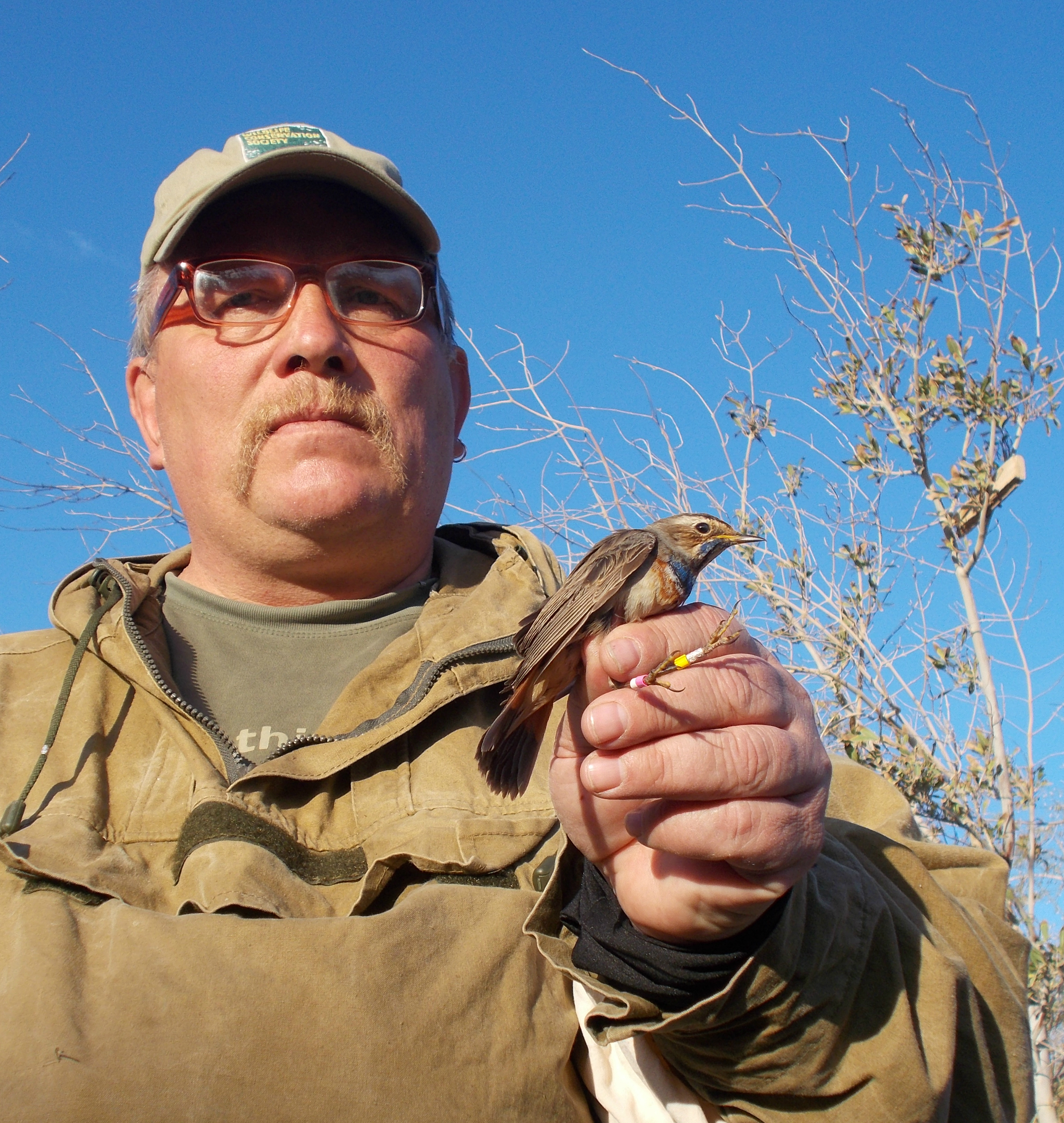
Mikhail Markovets with colour-ringed and geolocator-tagged Bluethroat
In Israel, the wintering areas and habitat preferences used by Bluethroats have been established by previous studies, including those undertaken at the IBRCE in Eilat. The breeding origins of Bluethroats migrating through and wintering in Eilat remain something of a mystery, however. Although in excess of 10,000 Bluethroats have been ringed in Eilat in the last 25 years, none of these has ever been recovered or controlled on migration elsewhere or in breeding areas.
It is speculated that the breeding origins of Bluethroats wintering in Eilat are, broadly speaking, Eastern Europe and northern and central Asia. To test this theory, we equipped Bluethroats with light level geolocators. Manufactured by the Swiss Ornithological Institute (SOI), the geolocators weighed 0.7g and were fitted to birds weighing at least 16g (i.e. not exceeding 4.4% of body mass). Geolocators were originally developed by the British Antarctic Survey as part of studies into the foraging distribution and behaviour of albatrosses in the Antarctic and Southern Oceans. In recent years, SOI and other manufacturers have produced miniaturised versions for use with small songbirds, opening up exciting opportunities for bird researchers.
Methods
So how do geolocators work? While the technology is new, the method of solar geolocation is centuries old, having been used as a means of navigation by mariners and explorers. It is based on the principle that day length varies with latitude, while the time of solar noon varies with longitude. So, by simply measuring these two variables, one is able to calculate an approximate position on the globe. Once activated, a geolocator records light levels every few minutes relative to an internal clock. These data are then stored on a microchip and downloaded for analysis upon retrieval. Complex algorithms have been developed not only to determine global position (currently to within 70 km under optimal conditions), but also to infer different types of activity such as active migration, periods of rest, foraging, etc.
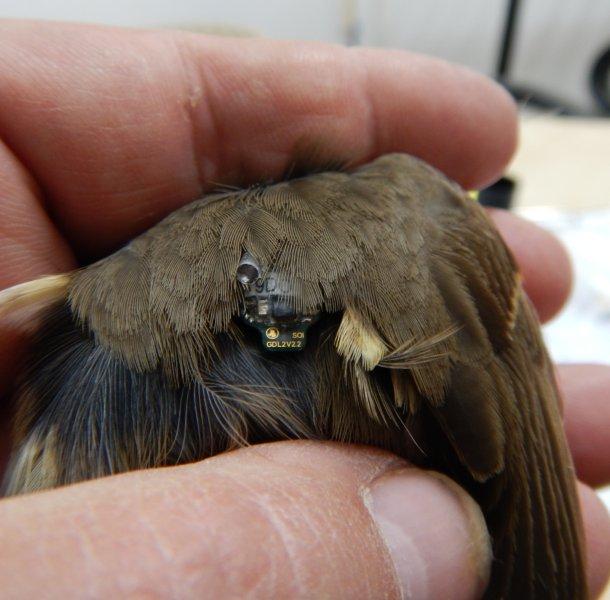
Light level geolocator attached to a Bluethroat
For the current project, the study area was the IBRCE Park (also known as the Bird Sanctuary & Ringing Station). This is located on the site of a former refuse tip to the north of the town of Eilat and close to the Jordanian border crossing. The work was conducted under a project licence issued by the Israel Bird Ringing Centre (IBRC). Birds were captured between 10 and 20 February, at the end of period during which only wintering birds are normally present in Eilat. Adult males were preferentially targeted, as previous studies have shown high winter site fidelity with a 37% probability of birds being recaptured in this age/sex group (Markovets & Yosef, 2005). In addition to fitting geolocators, two central tail feathers (grown at or near breeding areas) were taken to estimate geographical origin from stable isotope analysis.
Initial results and future work
The first stage of the project was very successful. Good catching conditions at the study site resulted in the capture of 15 birds (13 males and 2 females) which were heavy enough to be equipped with geolocators (shown above), attached to the bird by a small harness. This would not have been possible without the assistance provided by staff at the IBRCE. The plan is to return to Eilat in December (2016) to recapture some of these birds, so that the geolocators can be detached and the tracking information downloaded. The data analysis will be performed by Dimitry Kishkinev (Queen’s University, Belfast) who also provided the geolocators for this project. Providing sufficient data of interest can be obtained from the geolocators, the results will be published in due course.
Acknowledgements
Special thanks are extended to IBRCE Director Noam Weiss for his help and cooperation with this project. For anyone thinking about visiting Israel, the IBRCE Park is a premier birding site and migration hotspot with easy access and great facilities which include nature trails, bird hides, guided walks and ringing demonstrations. Visitor information is available from the IBRCE website.
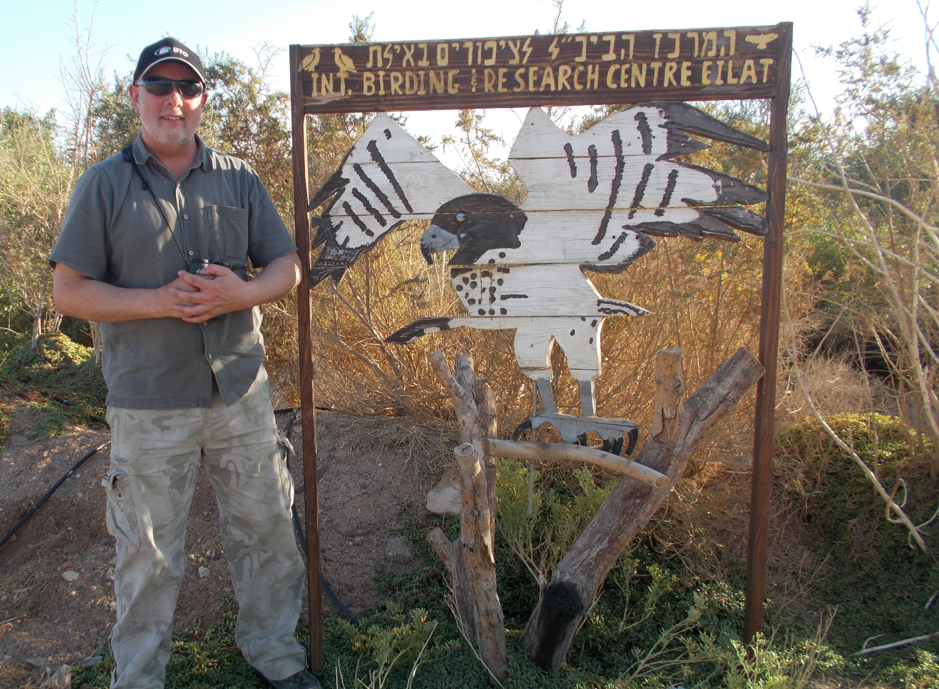
Lyndon Roberts at the IBRCE